The GeoE3 training includes a set of courses to support modern and cross-border management, integration, processing, and sharing of geospatial data. It is recommended they are completed in sequence:

Sequence of GeoE3 courses

After completing the 3 courses you will have a better understanding of:

  • how to improve access and interoperability of geospatial and other data
  • how dynamic harmonisation of geospatial data works
  • how to use second-generation geospatial standards, such as OGC APIs
  • how to develop your geospatial services based on the national data and platforms, and integrate them into the European framework

Acknowledgements

This course material was produced by European professionals working on the GeoE3 project. The project was co-financed by the Connecting Europe Facility of the European Union.

Notes

If you have any questions about the material, contact the writers in person or send us an email at nedmead@ogc.org.

Also, remember to give feedback using our feedback form. We really want to improve our courses, so feedback is highly appreciated!

All contents (e.g. embedded videos) may not work with Firefox. We recommend using Chrome.

1. Data Management
GeoE3

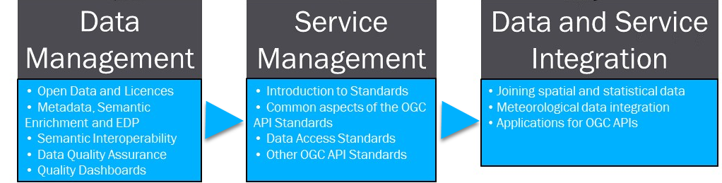
This course covers acquiring, processing, distributing, using, maintaining, and preserving spatial data. It includes modules to help you to improve skills relating to Spatial Data Infrastructures (SDI) and develop your work. Modules include information, examples, standards and code practices. Material is targeted to developers working for National Mapping & Cadastral Agencies (NMCAs), statistic institutions and other agencies working with spatial and statistical data.

Modules:

  • Open Data and Licences
  • Metadata, Semantic Enrichment and EDP
  • Semantic and Organisational Interoperability
  • Data Quality Assurance
  • Data Quality Dashboards
2. Service Management
GeoE3

This course provides a comprehensive overview of the OGC API Standards and how they can be used to facilitate the interoperability of geospatial services. The course includes multiple real-life use cases in addition to general overviews and technical descriptions. 

Modules:

  • Introduction to Standards
  • Common aspects of the OGC API Standards
  • Data Access Standards
  • Other OGC API Standards
3. Data and Service Integration
GeoE3
This course focuses on the integration of data and services. Material is targeted to developers working for National Mapping & Cadastral Agencies (NMCAs), statistical institutions and other agencies working with spatial and statistical data.
 
Modules:
  • Joining spatial and statistical data
  • Meteorological data integration
  • Applications for OGC APIs